


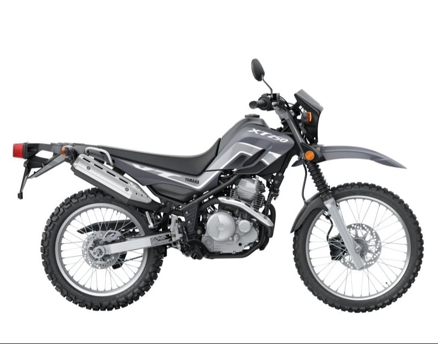
2024 Yamaha XT250
The Yamaha XT250 is a reliable and versatile dual-sport bike, perfect for both on- and off-road adventures.
Its air-cooled 249cc single-cylinder engine provides a broad powerband and excellent fuel efficiency, while the compact chassis and long-travel suspension ensure agile handling and comfort on various terrain.
With features like a 21-inch front wheel, wide-ratio five-speed transmission, and electric start, the XT250 is ideal for exploring dirt trails, commuting, or simply enjoying the thrill of the ride.
X
32.7 in
291 lbs
2.5 gal
249cc
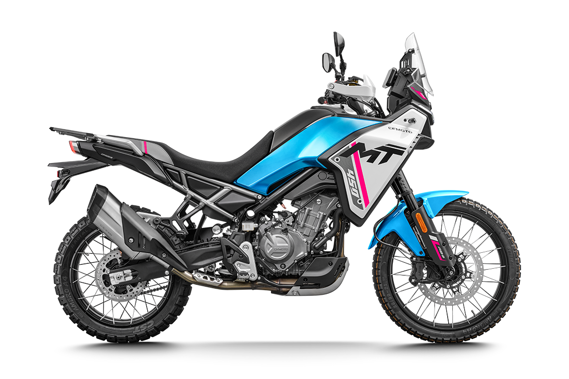
CFMOTO 450MT (IBEX)
The CFMOTO 450MT (known as the IBEX 450 in North America) is built extra tough to take you far beyond where the pavement ends. This lightweight powerhouse brings true multi-terrain capability and dual-sport versatility to the adventure touring world. Boasting an incredibly smooth, responsive parallel-twin engine with broad low-end torque, it is arguably the ultimate "unicorn" bike for exploring Colombia's rugged topography.
Smartly equipped with proper 21"/18" tubeless spoked wheels and adjustable KYB suspension, the 450MT / IBEX handles everything from paved Andean twisties to technical dirt trails with ease. Whether you call it the MT or the IBEX, it is perfectly crafted for riders who demand maximum off-road capability without the heavy bulk of a traditional adventure bike.
X
31.4 in/32.2 in | 800 mm/820 mm
386 lbs | 175 kg
4.6 gal | 17.6 liter
449.5 cc
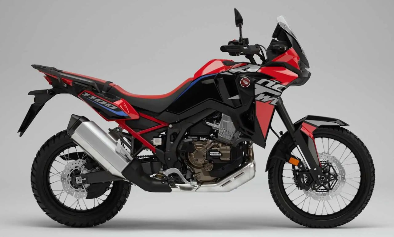
Honda Africa Twin CRF1100
X
33.5/34.3 in
505 lb
5.0 gal
1084 cc
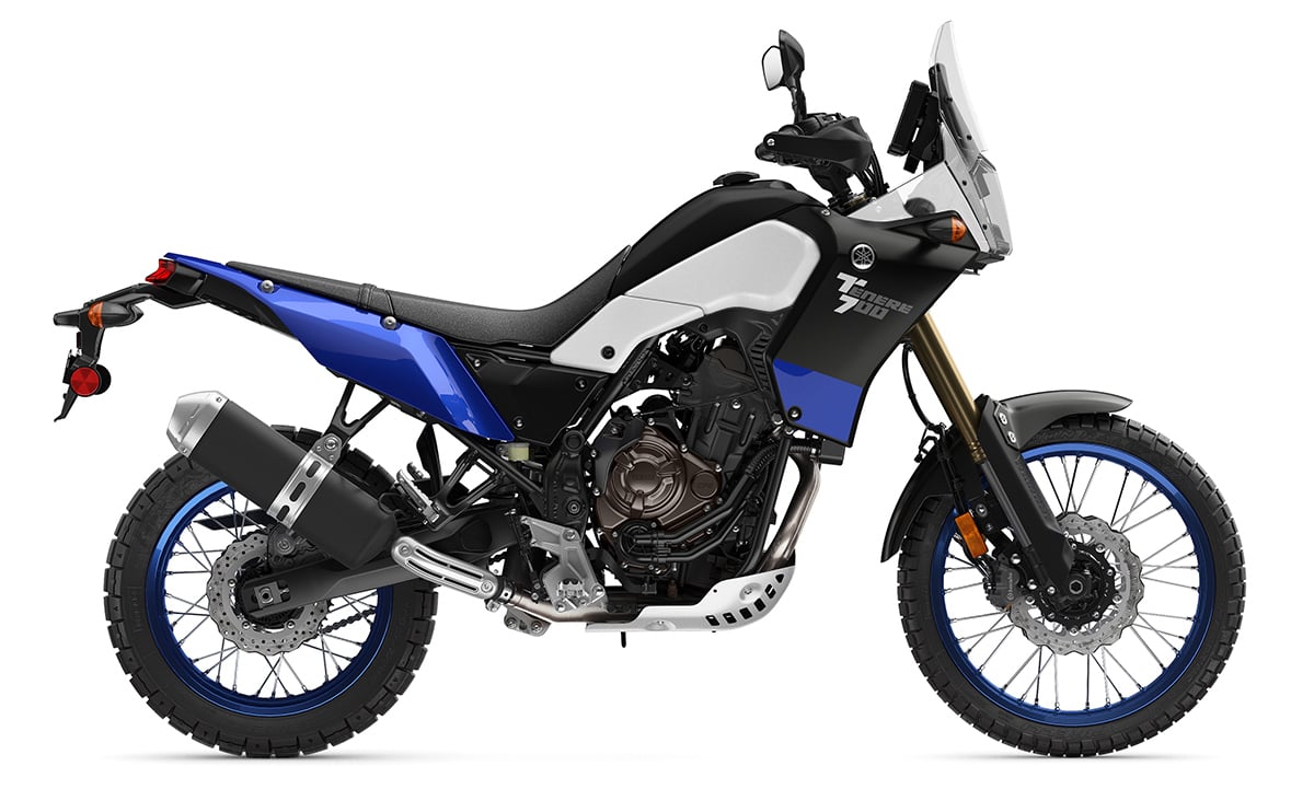
Yamaha Ténéré 700
This highly-anticipated "masterpiece of value" has finally been released, giving dual sport adventure riders around the world one more incredible middle-weight adventure bike to choose from. With 73+ smooth, linear horsepower pouring through one of most beautiful exhaust notes out there, the Ténéré 700's unique anti-squat design puts that power into the ground, instead of into the rear shock. The result is one of the best handling, adventure bikes on the market, all backed by typical Yamaha-reliability. Take this agile machine on short trips or long, paved twisties or dirt roads, and know that this may be as close to the "perfect" adventure bike as we have seen in a while. With an attractive entry price, and corresponding rental rate, we expect the number of Ténéré 700's in our fleet operations to grow steadily and remain a factor for a long time.
X
34.4 in / 874mm
452 lb / 205kg
4.2 gal
689 cc